Journal

Karlu Karlu: More Than a Balancing Rock

Karlu Karlu, also known as Devils Marbles, is one of the Northern Territory’s most recognisable landscapes. These enormous granite boulders are scattered across the plains south of Tennant Creek, creating a landscape unlike anywhere else in Australia.
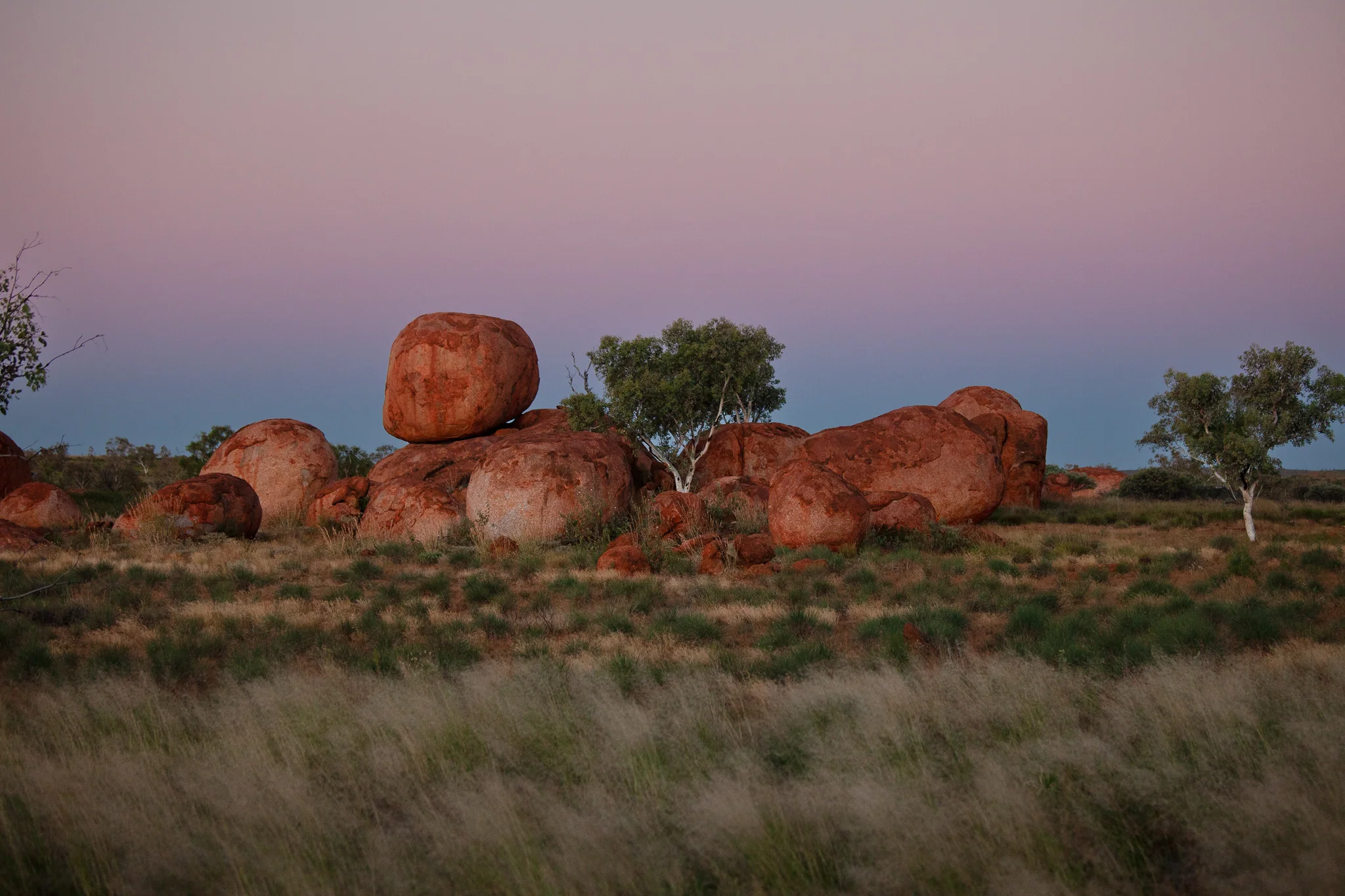
The balancing rocks are what most visitors come to see, but the real surprise is how extensive the formations are. Boulders appear across the landscape in every direction, making Karlu Karlu feel much larger than the photographs usually suggest.
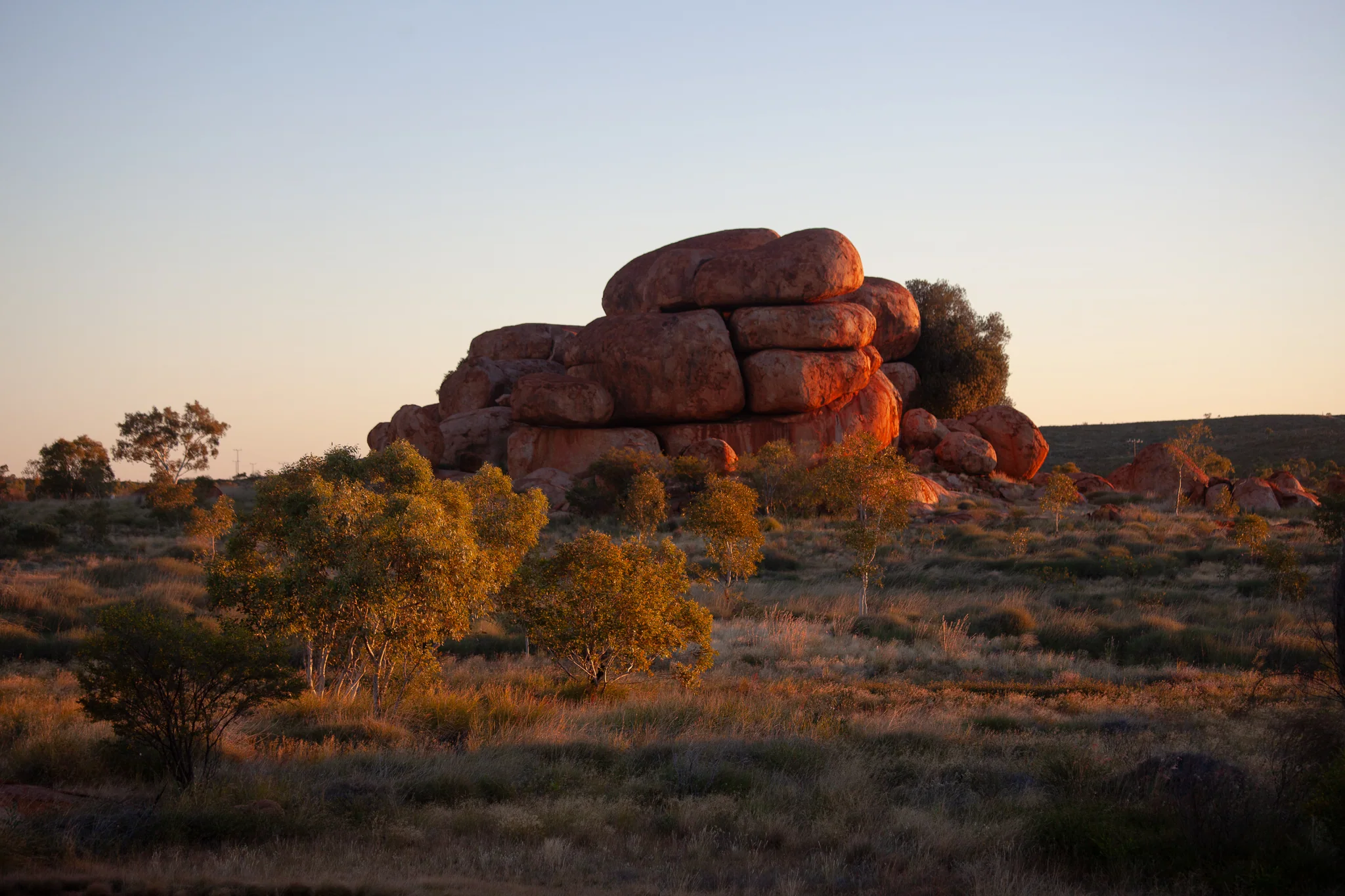
Karlu Karlu is an important cultural site for the Warumungu, Kaytetye, Alyawarra and Warlpiri peoples. Many of the formations are connected to Dreaming stories and continue to hold significance today.

For many Australians, Karlu Karlu has also become one of the defining images of the outback. Generations of travellers have stopped here while crossing the continent, making the balancing rocks a symbol of the vast distances and unique landscapes of the Red Centre.

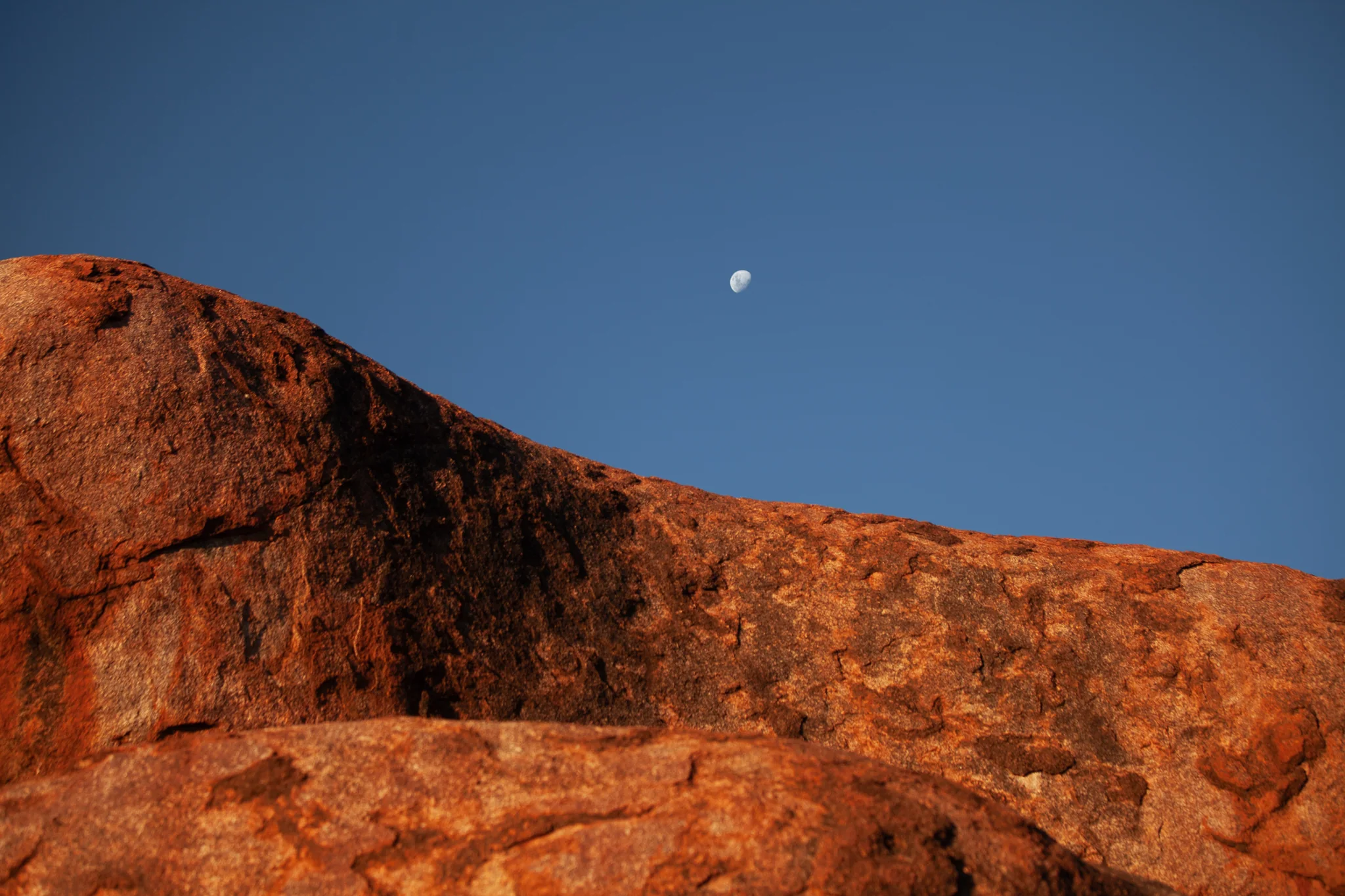
The granite formations themselves were shaped over millions of years as weathering gradually sculpted the rounded boulders seen today.
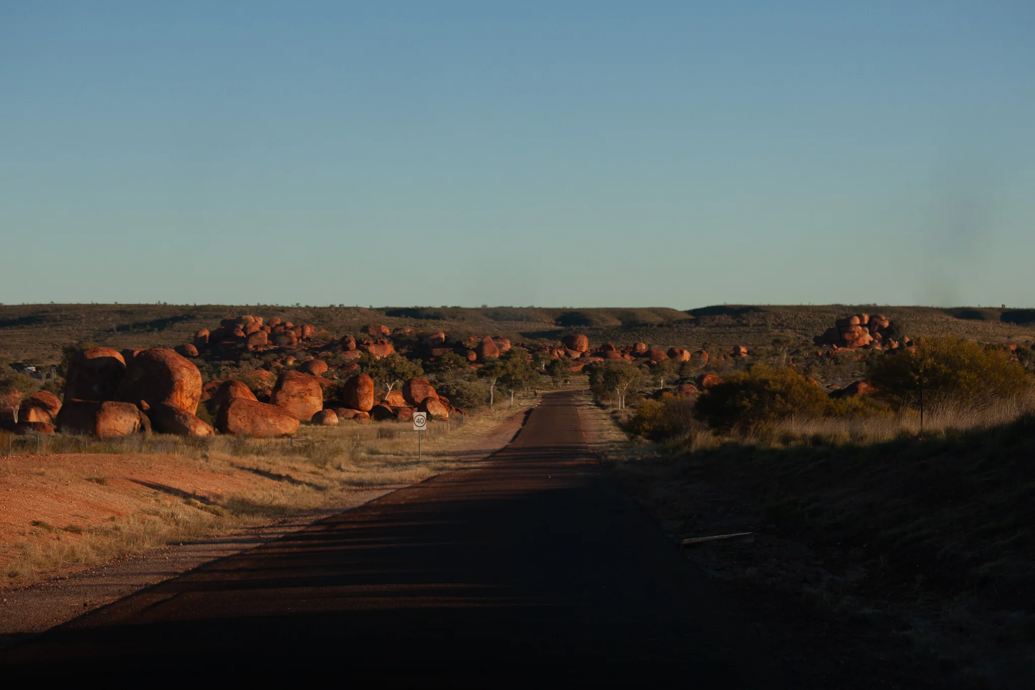
By late afternoon, the colours of the rocks change with the light, while the surrounding plains seem to stretch endlessly towards the horizon.

It is a place that is easy to photograph, but much harder to fully capture. The scale of the landscape, the distance between formations and the feeling of the outback are things that only really become apparent when standing among them.
Bitter Springs

By the time we reached Bitter Springs, the crowds had gone.

Dusk was approaching and the last swimmers had already left. The springs had only recently reopened, yet the place felt strangely empty.

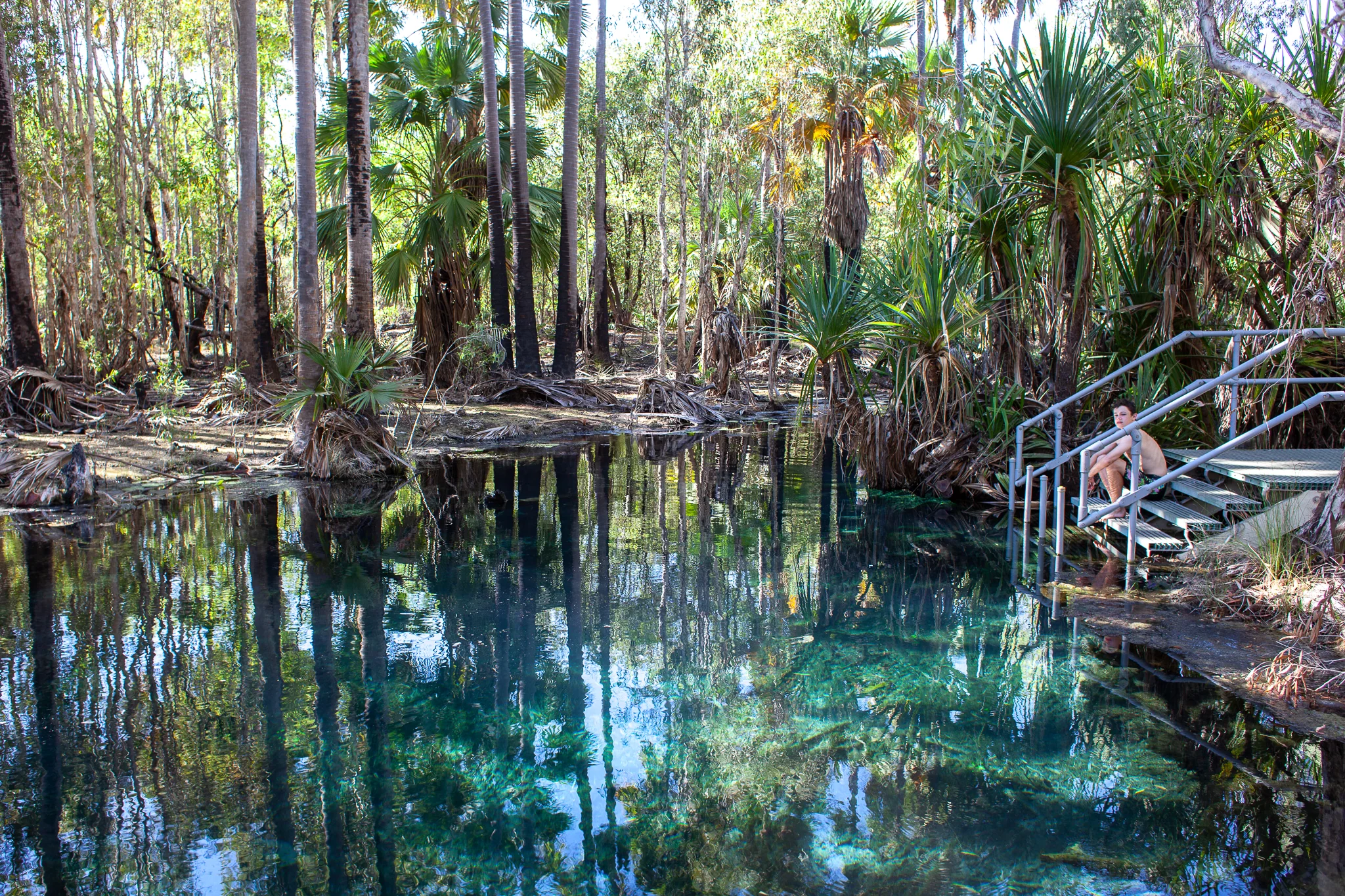
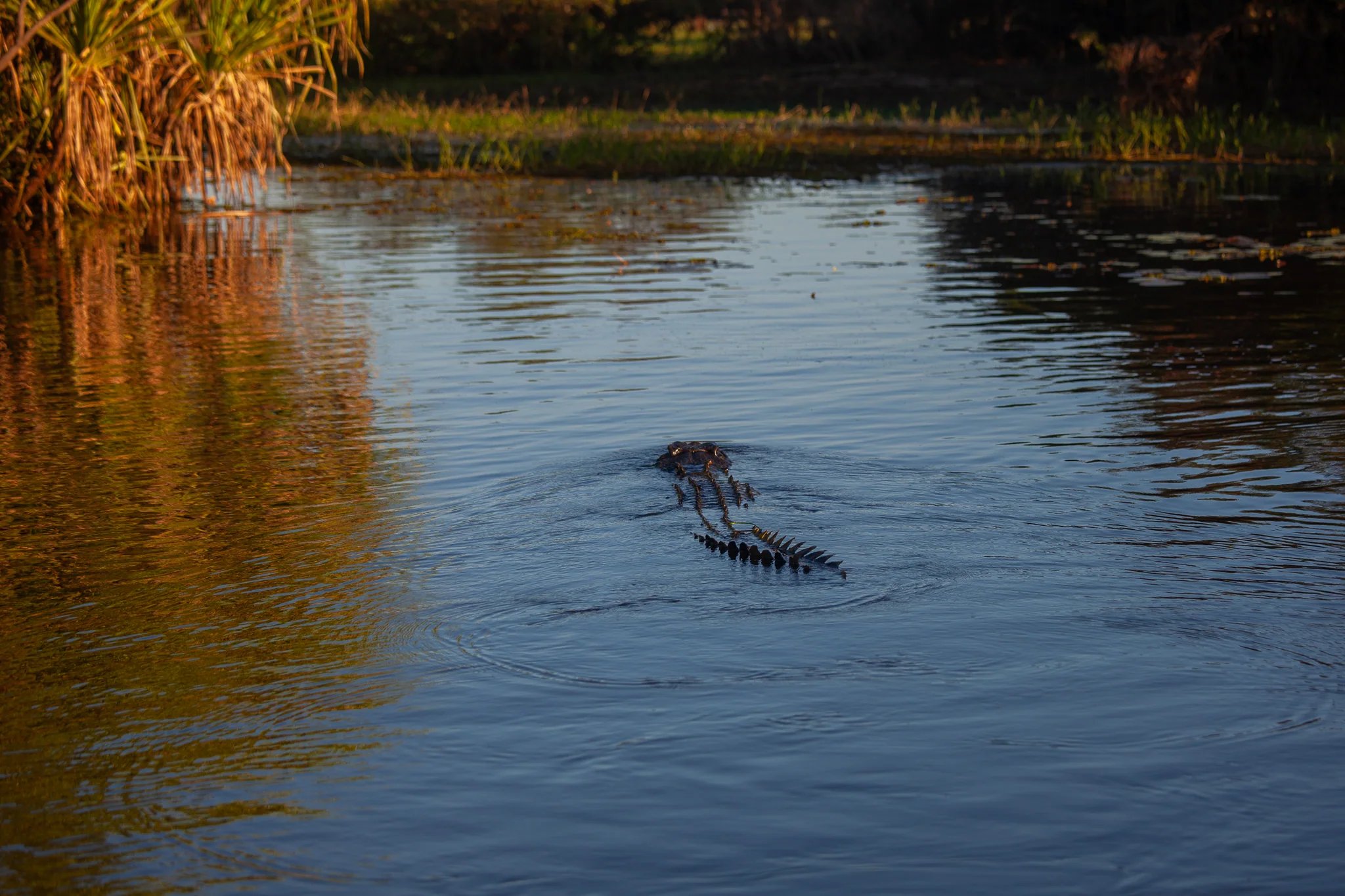
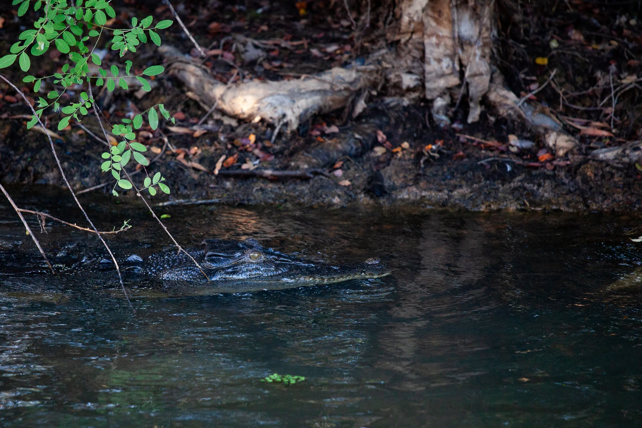
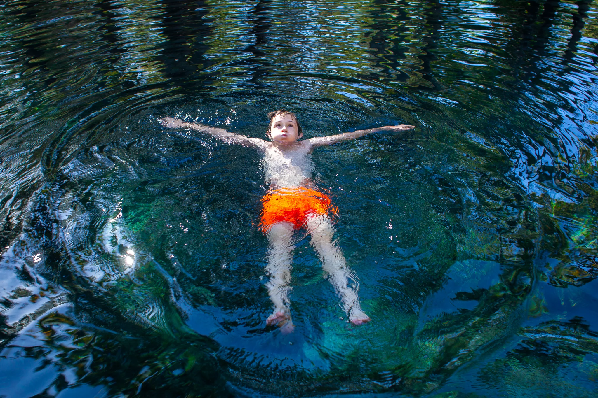
Warm water rises from deep underground before winding through the paperbarks on Mangarrayi Country. The swimming area is carefully managed, with signs marking where visitors can go and where they cannot. Beyond those points lies crocodile country.

In the water, however, those boundaries felt distant.

The creek carried us slowly beneath the trees, through clear water that reflected the fading light. Apart from the occasional splash, there was little sound. We drifted downstream, walked back, and drifted again.

For a place with warning signs at either end, Bitter Springs felt remarkably peaceful.

Warm water has flowed through this landscape for thousands of years. The boardwalks, designated swimming area and warning signs all feel temporary by comparison.

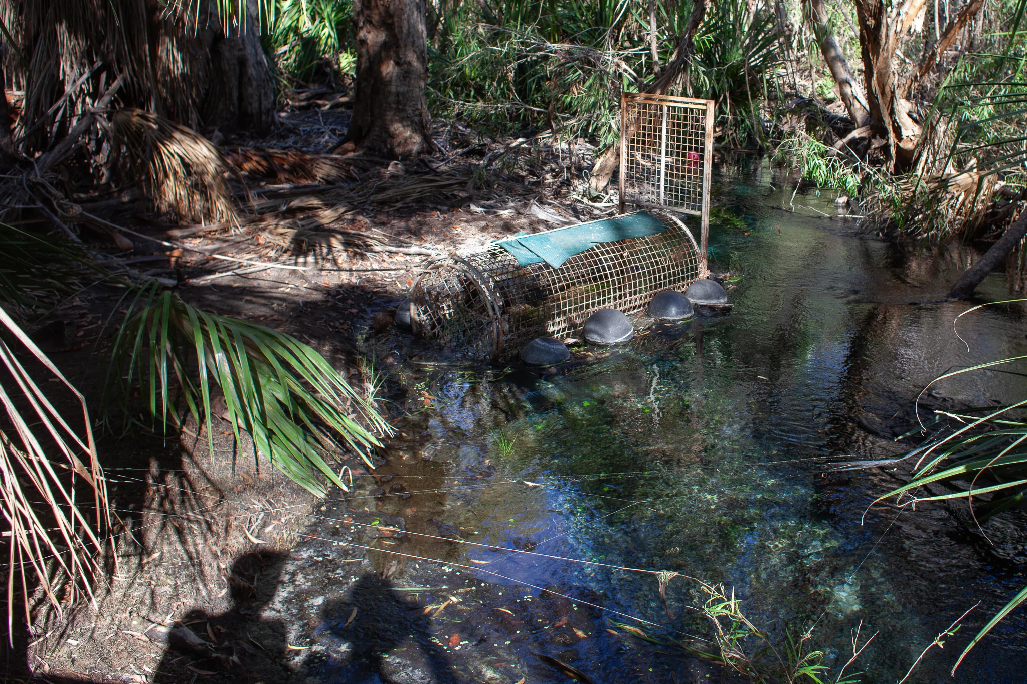
Later, we came across a saltwater crocodile trap hidden beside the creek.

A reminder that this is not a natural pool set aside from the landscape, but part of a living system where people and wildlife are constantly negotiating the same space.

The following week, the springs closed again following renewed crocodile activity.

Looking back, the trap seemed less surprising than the swim itself.

An Evening at Ubirr

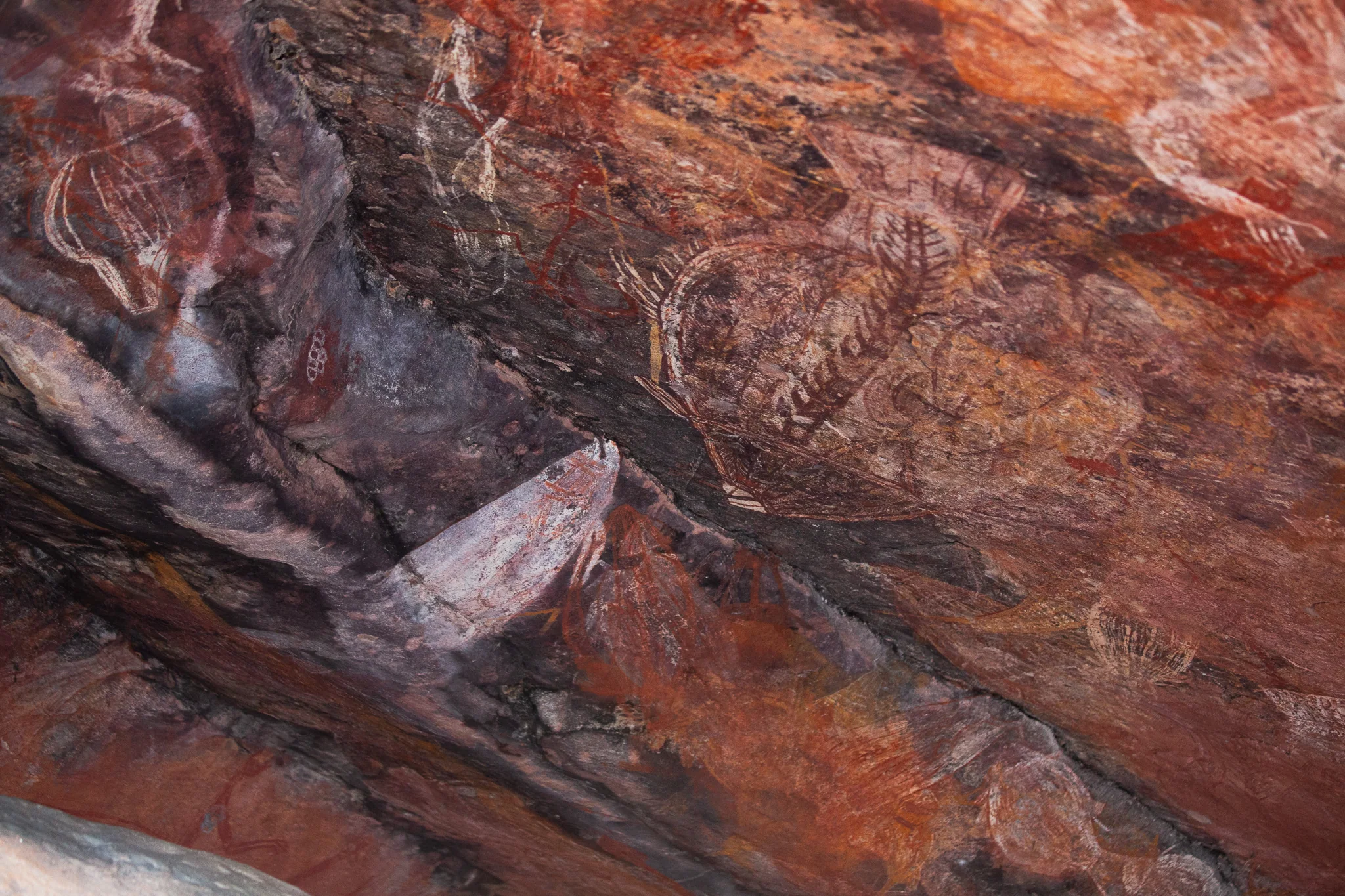
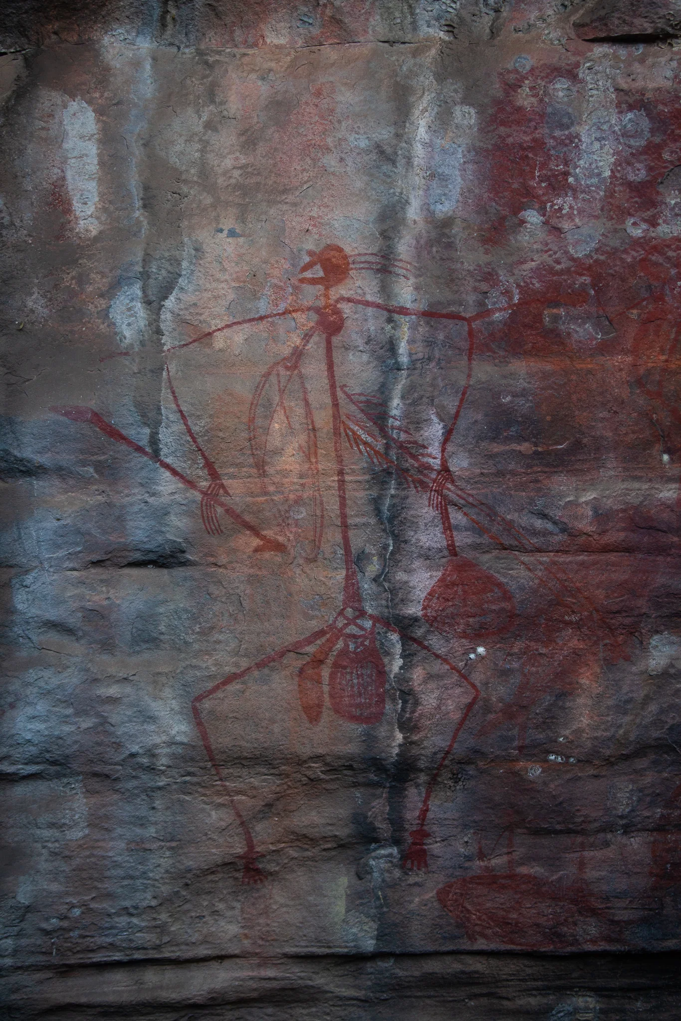
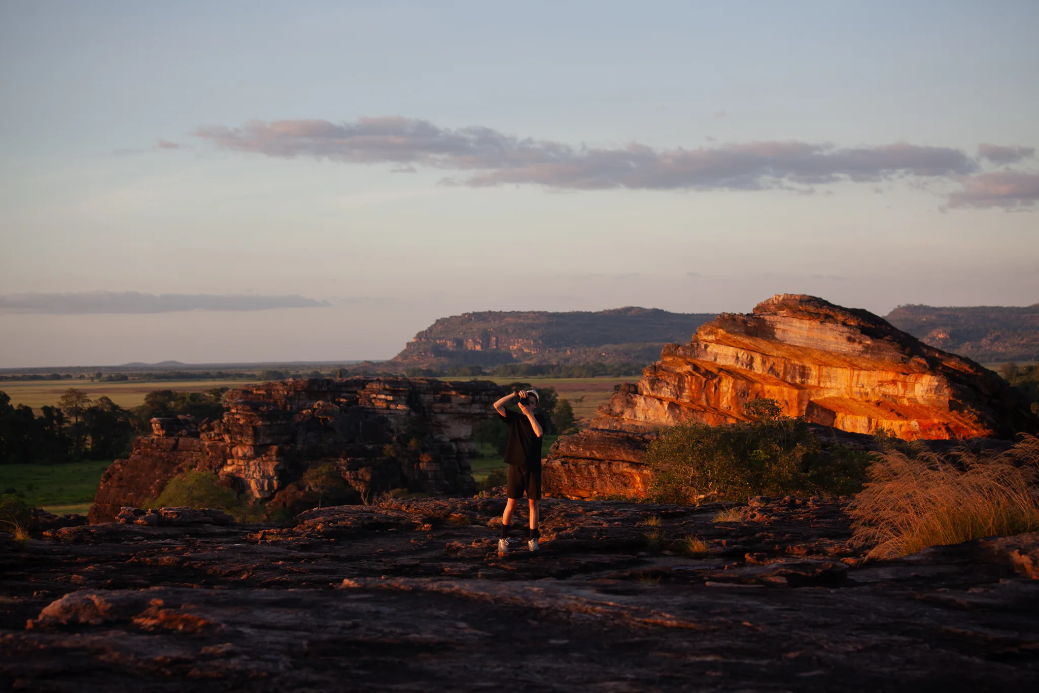
Ubirr is home to some of Australia’s most remarkable Aboriginal rock art. The paintings record stories of people, animals and creation ancestors, preserving traditions that have been passed down for thousands of years.

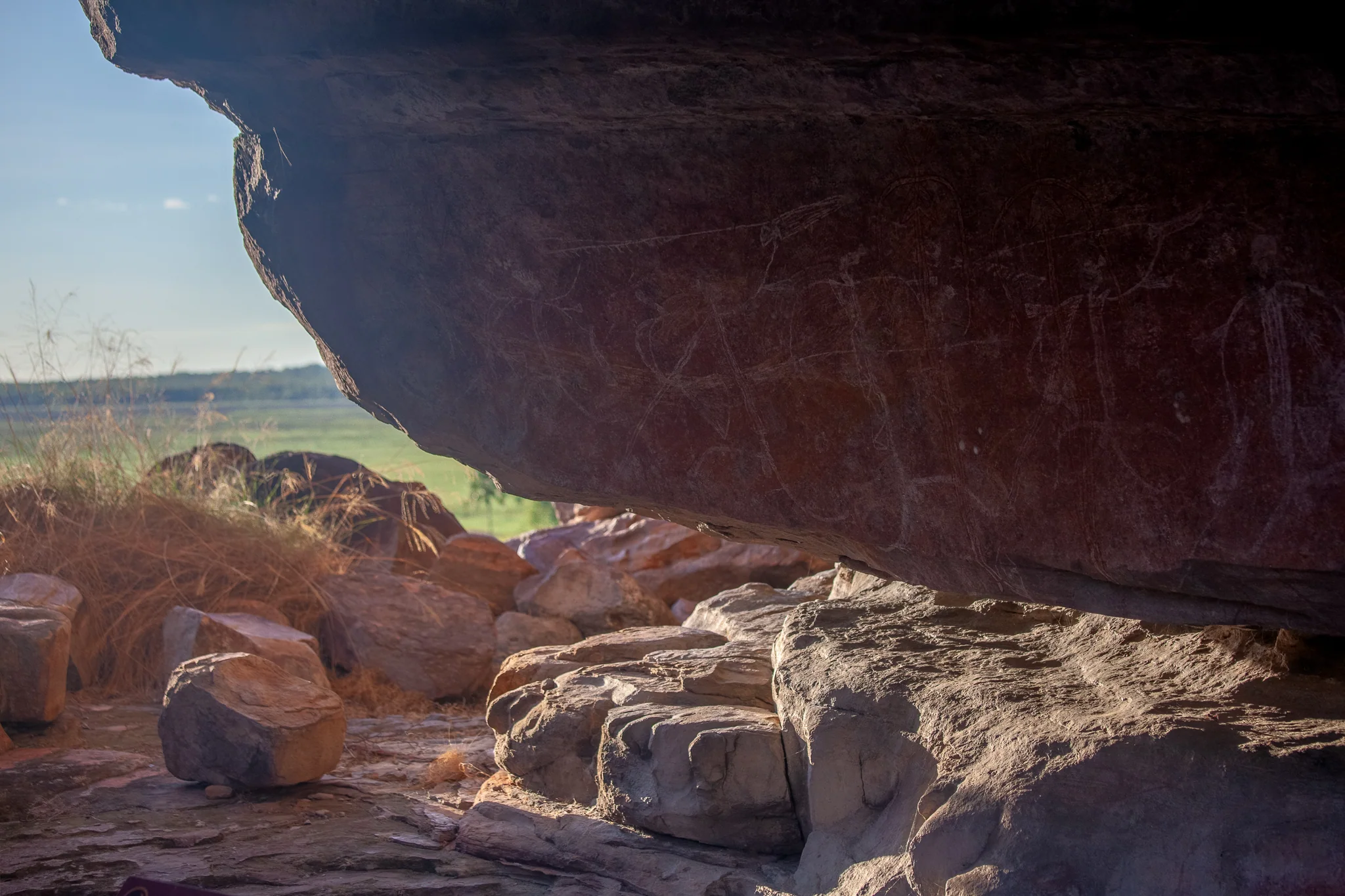
Many of the paintings are found within natural rock shelters overlooking the surrounding country, linking the stories on the walls to the landscape beyond.

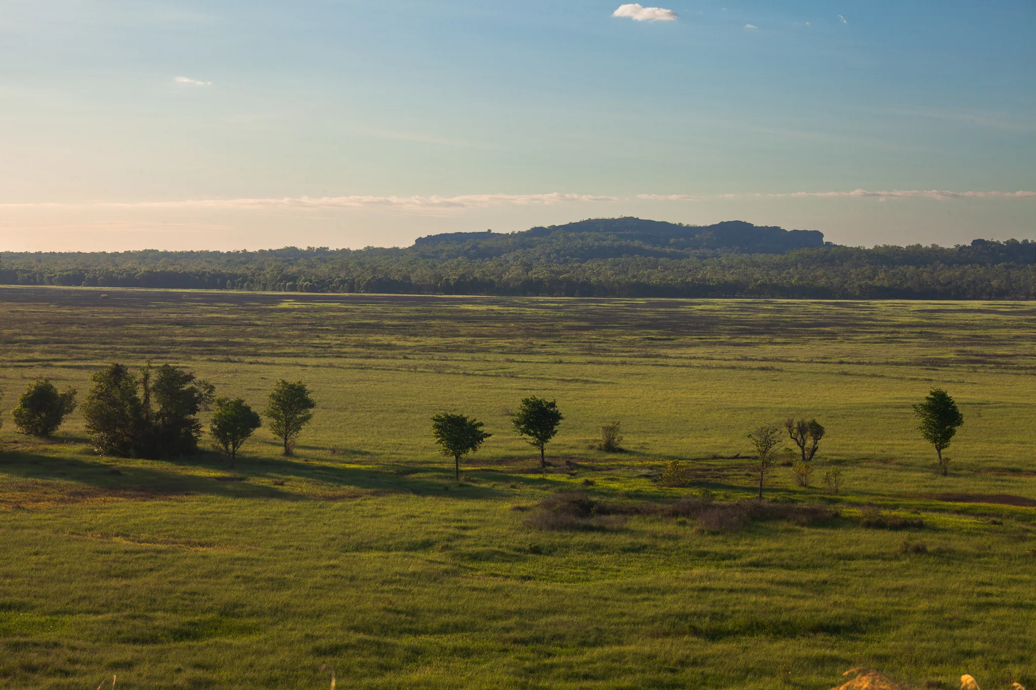
From the lookout, the Nadab floodplain stretches towards the Arnhem Land escarpment. During the wet season much of this country lies underwater, transforming the landscape completely.

The Start of the Road

Litchfield National Park was our first stop in the Northern Territory.

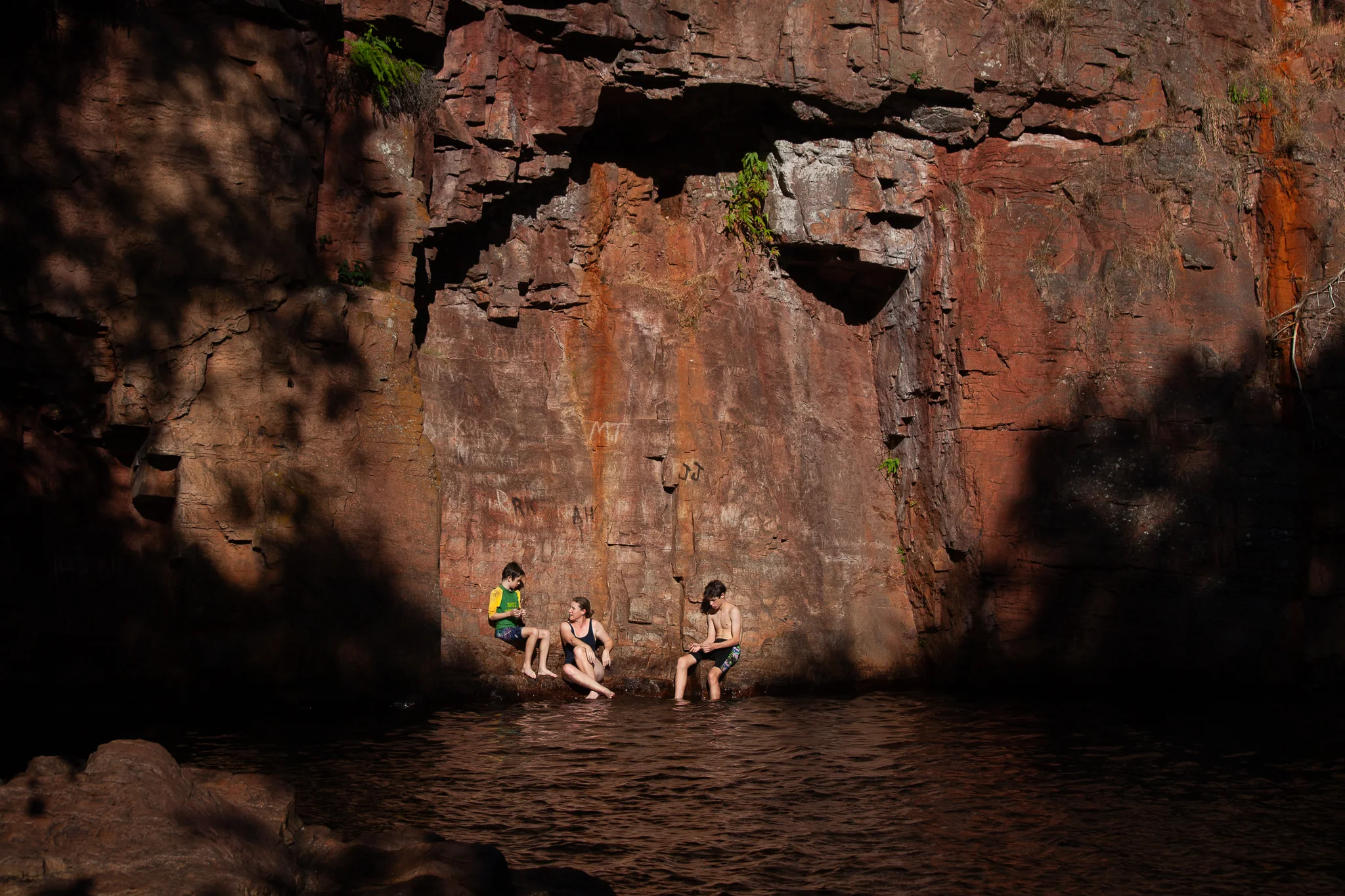
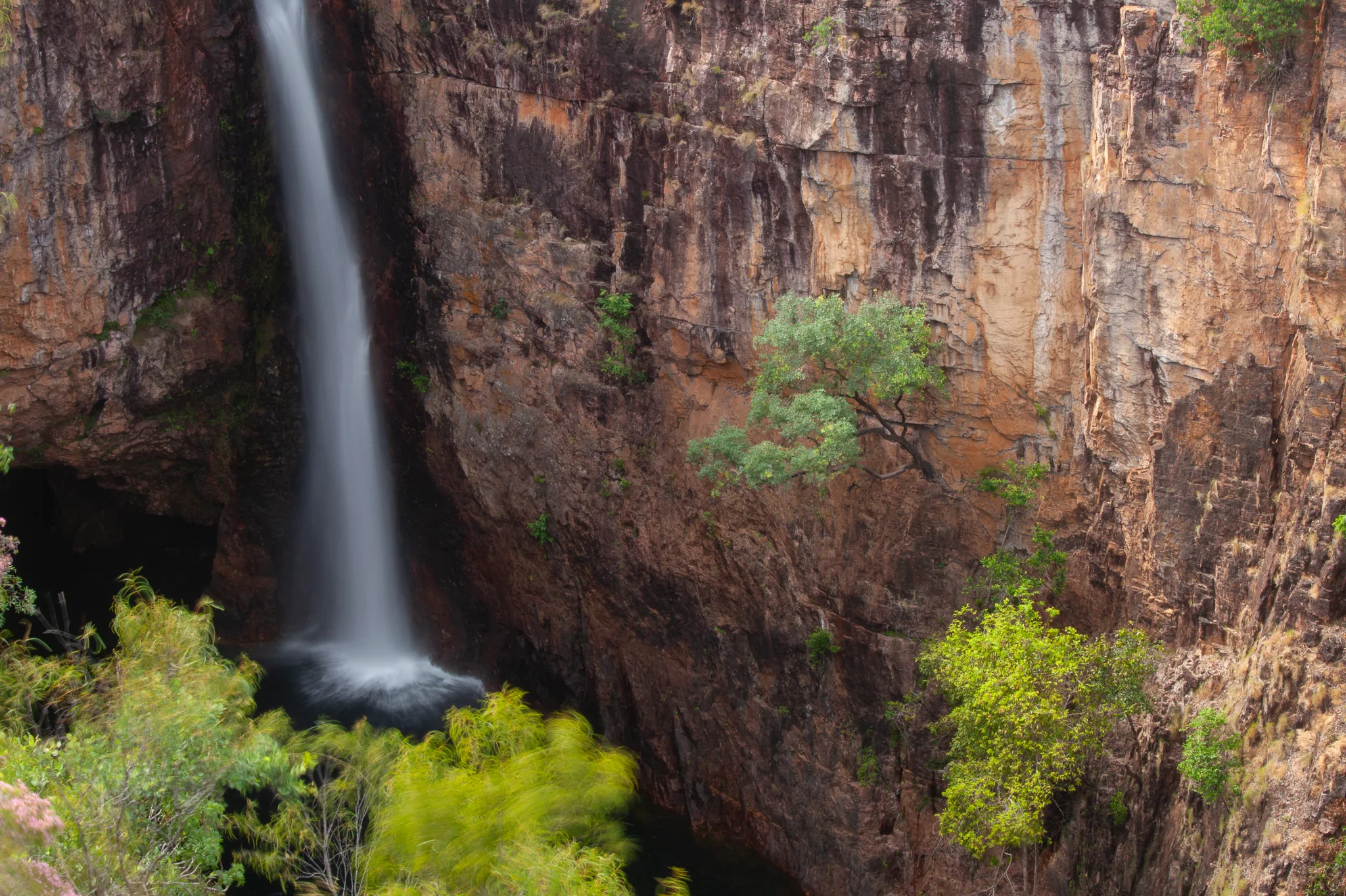
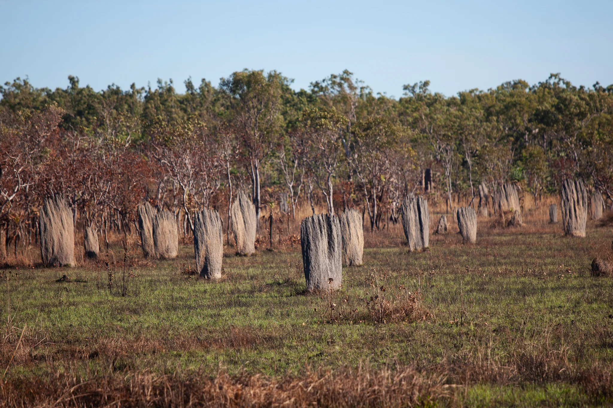
Between the cool waters of Florence Falls and the towering termite mounds that rise from the savannah, Litchfield offered an introduction to a landscape unlike any we had seen before.

A few photographs from those first days on the road, while we were still settling into the rhythm of camping and discovering the Territory.